Euchee Creek Greenway
Grovetown’s Euchee Creek Greenway elevates visitors along this route in East Georgia on a series of boardwalks. Located in metropolitan Augusta, the trail follows a creek named for the Indigenous Yuchi people (also spelled Euchee and Uchee) who lived here in the 17th and 18th centuries before they were forced to relocate to Oklahoma in the 1830s.
About This Site
Hours
eBIRD
Amenities
| Amenity | Available |
|---|---|
| Admission Fee | ✕ |
| Lodging | ✕ |
| Visitor or Nature Center | ✕ |
| Restrooms | ✕ |
| Drinking Fountain or Potable Water | ✕ |
| Trails | ✓ |
| Boardwalk | ✓ |
| Camping | ✕ |
| RV Hookups | ✕ |
| Picnic Area | ✕ |
| Kayaking or Canoeing | ✕ |
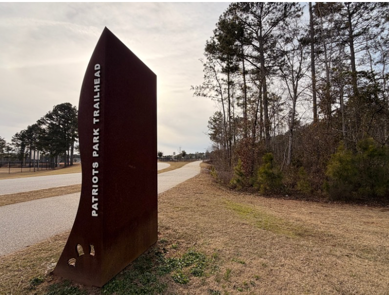
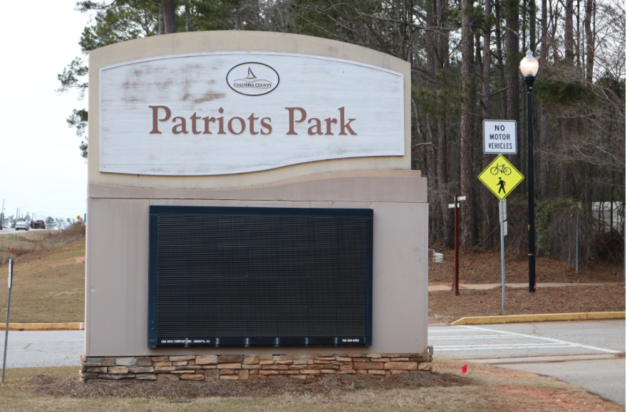
The Columbia County Greenway is divided into two segments. The 5-mile northern section runs between the Patriots Park recreation area and the Canterbury Farms development. The 1.1-mile southern segment is known as the Grovetown Trails at Euchee Creek and connects to a paved trail around a lake.
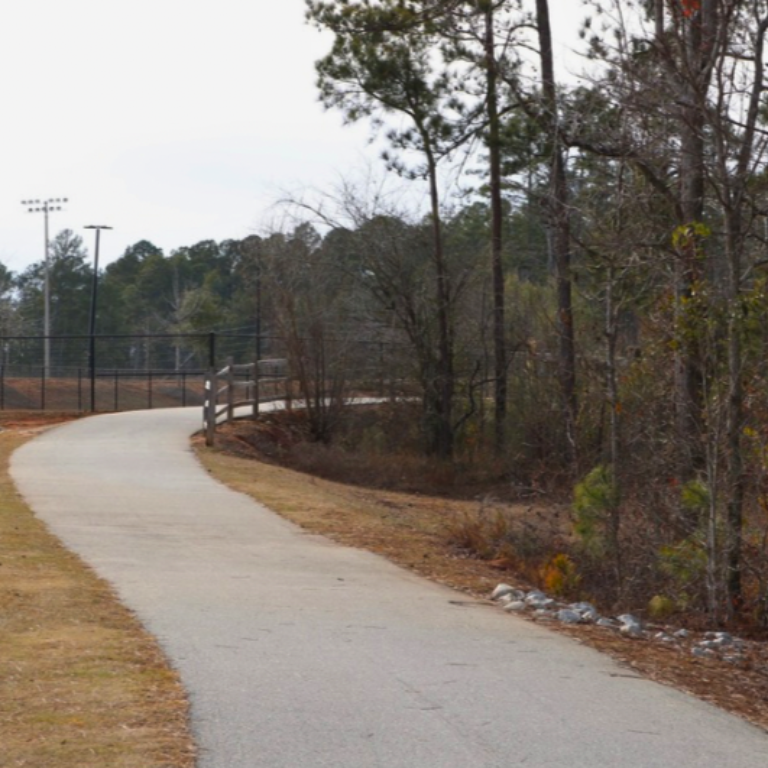
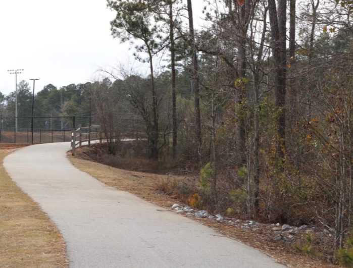
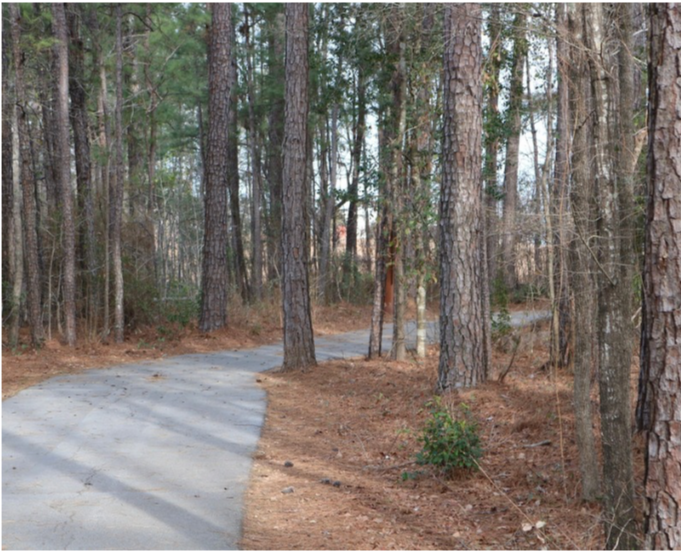
The Euchee Creek Greenway is paved in asphalt and concrete, although several sections—where the route meanders through the creek’s floodplain—are elevated above ground level on a boardwalk with side rails. It is mostly flat, although westbound travelers will find a steep climb where the trail ascends out of the floodplain and runs as a side path along Columbia Road/GA 232. The slope in this section may prove challenging for some people.
Featured Birds
 American Kestrel
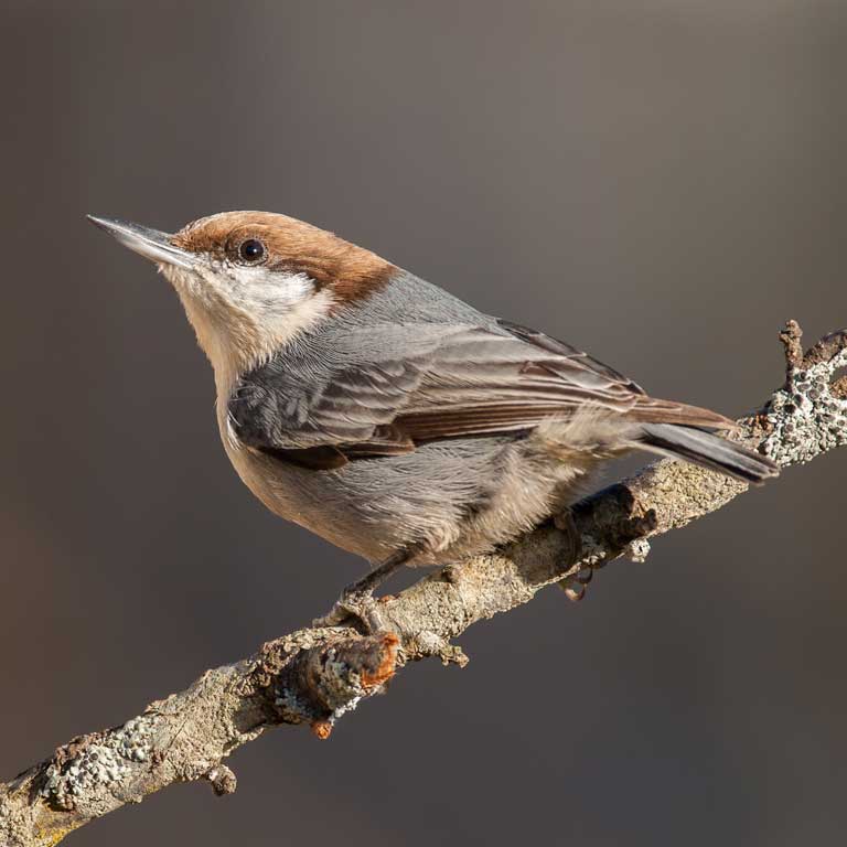 Brown-headed Nuthatch
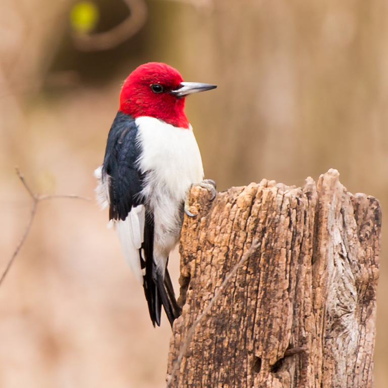 Red-headed Woodpecker
About the Route
Starting in the north, the trail emerges from Patriots Park, a county recreation facility that features athletic fields, disc golf, and restrooms. The trail runs east alongside Columbia Road for 1.3 miles before descending into the floodplain and heading south.
For the next 3.2 miles, the trail follows a route through woodlands that separate housing developments scattered across the landscape. The trail crosses only one road—William Few Parkway—on this stretch, as all the other highway crossings are overhead. Ending at the Canterbury Farms development, trail users will find several access points to residential streets.
About a mile south, the southern section begins at a trailhead on Wrightsboro Road. This segment follows the creek for nearly a mile to a loop around a lake on Harlem Grovetown Road.
Photo Gallery
This Birding Site Sponsored By
Dover is a diversified global manufacturer that delivers innovative equipment and components, consumable supplies, aftermarket parts, software and digital solutions and support services.